ORKID’s New Drone Combines LiDAR, Photogrammetry,…
By
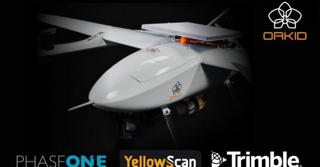
ORKID announced a new ORKID variant, the first NDAA-compliant VTOL drone to integrate four industry-leading technologies onboard, fully synchronized, and operating simultaneously. Aerospace firm ORKID has introduced…
< 1 min read